–
Stony Run is different than the typical park. It is a mostly wooded 3 mile forested trail that follows the contours of the Stony Run creek. Only on occasion is the trail interrupted by roadways or open areas.
The linear nature of this park is unique and the length of the trails extend the park throughout fifteen different neighborhoods with numerous access points from roadways, other parks and even backyards of some of the neighboring properties. This type of access links neighborhoods in a way that is unusual and allows for common usage by a large number of people with varying backgrounds.
As this park is more of a trail than a park, this profile is organized a little differently than our other profiles.
THE NORTHERN SECTION OF STONY RUN
Stony Run’s northern section begins just south of the Gilman School’s athletic fields. There is no real access to the north end of the park except by crossing Gilman’s private property. Instead, the most northern trail head is located at Wyndhurst Avenue and Wilmslow Road. At this location, you can park on the street and head either north or south.
On the north side of the roadway is a series of shops and offices, if you walk north on Wilmslow Road, you will see a trail head that heads north to the Gilman School athletic fields. That is a very short wooded walk – maybe 10 minutes up and back. It is probably used more for students walking to Gilman from nearby neighborhoods than anything else.
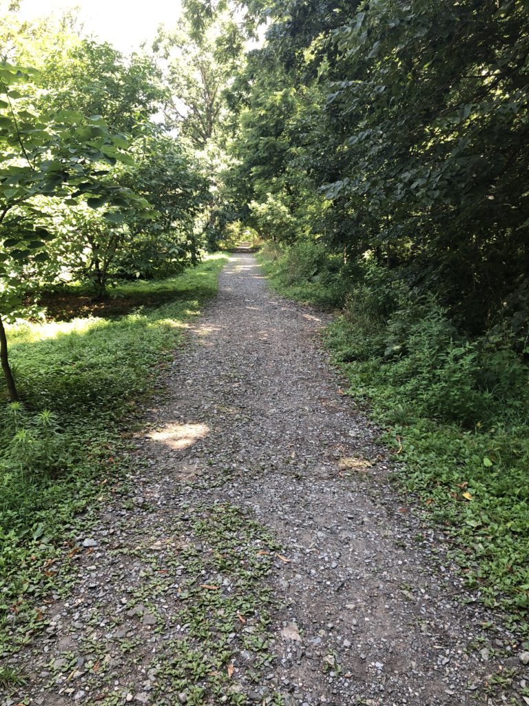
On the south side of Wyndhurst Avenue are two trails that head south and run on each side of Stony Run. After a relatively short distance, the trails merge. This section of the trail is very well maintained, flat and is used heavily for dog walkers, joggers and hikers.
If you take the trails south for just over 1/2 a mile, the trail will emerge from the woods at W. Cold Spring Lane and Meadow Lane. This is where the north end of Stony Run Park ends and moves into what we have arbitrarily called the upper mid-section of Stony Run Park.
UPPER MID-SECTION OF STONY RUN
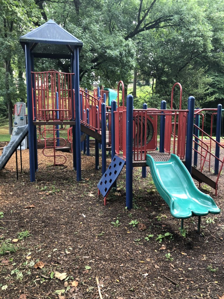
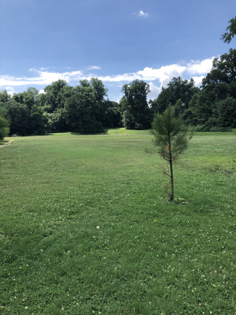
The upper mid-section of Stony Run can be accessed at W. Cold Spring Lane and Meadow Lane to the north and Ridgemede Road and Linkwood Road to the south. At the W. Cold Spring Lane and Meadow Lane intersection is a small field and some grassy shaded areas along with a playground. This area is referred to as Linkwood Park.
The Stony Run Trail runs directly through the park and continues to the wooded area to the south where it re-emerges from the woods at the Ridgemede Road and Linkwood Road intersection. Like the northern section, this trail is well maintained, flat and is suitable for hiking or jogging.
THE LOWER MID-SECTION OF STONY RUN
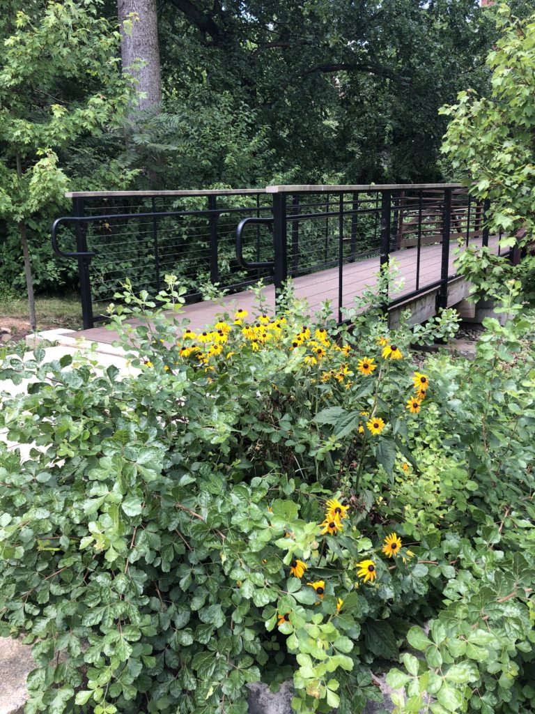
Access to the lower mid-section of Stony Run occurs at Ridgemede Road and Linkwood Road to the north and W. 36th Street and Beech Avenue to the south. If you are traveling from the north side of the trail to the south, the trail appears to end right at the intersection of Ridgemede Road and Linkwood Road. If you take the sidewalk to the south along Linkwood Road for a short distance, you will see a very nice pedestrian bridge just south of Linkwood Road and Stoneyford Road. This is where the trail picks back up.
After crossing the pedestrian bridge, head under an overpass to Oakdale meadow. This meadow is heavily used to exercise off-leash dogs. In fact, I have not seen it used for any other purpose.
After moving south through the meadow there is a trail to the right that leads to W. 36th Street and Beech Avenue. To remain on Stony Run Trail continue straight and head into the Southern Section of Stony Run.
SOUTHERN SECTION OF STONY RUN
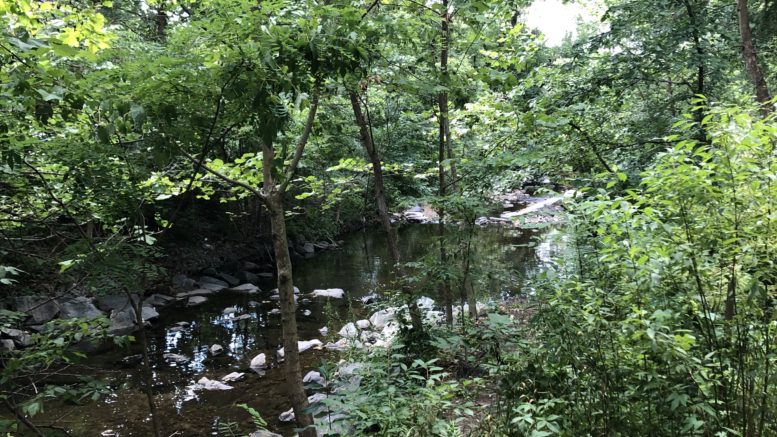
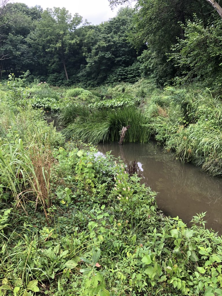
This section of the Stony Run Trail has narrower paths than the other sections but the trail remains flat. In this section, the trail is at a higher elevation than the creek giving nice views from above while still remaining forested. There is also a wetland area in this section that brings some diversity to the landscape.
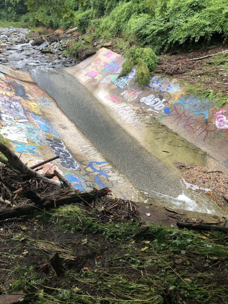
The end of the Stony Run trails dead ends at the below concrete culvert and pass through with lots of graffiti.
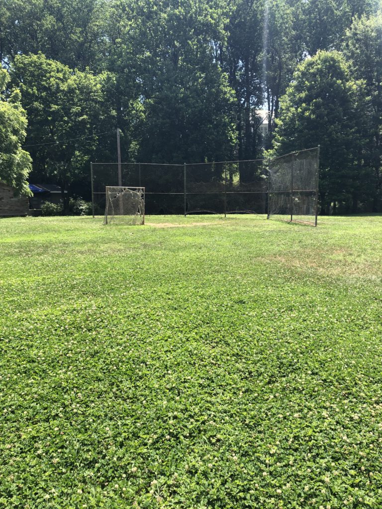
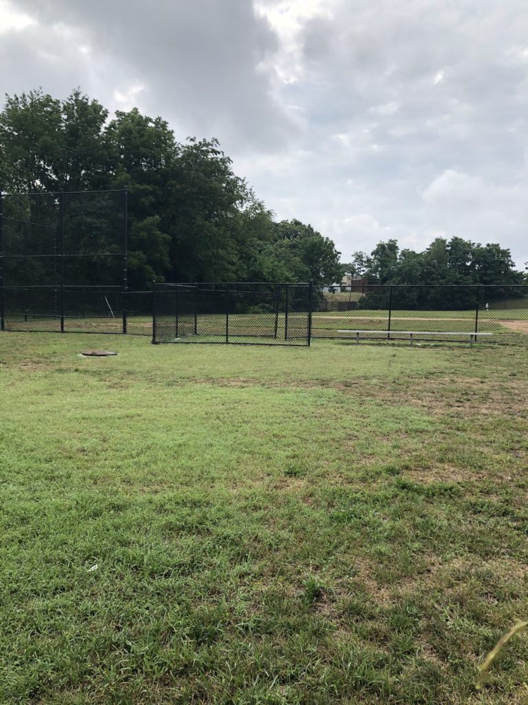
Just before the pass through is a trail that heads to the west. If you take that trail for a short distance, it leads to a couple of baseball fields on Wyman Park Drive. This area provides the access to the Stony Run Trail from the southern end.
WATER QUALITY / SANITARY SEWER SYSTEM
Although Stony Run’s water looks inviting, the water quality is very poor and there are several warning signs along the trail warning that contact with the water should be avoided.
Along the trail you will see several sanitary sewer manholes. During large rainstorms, these systems often overflow into Stony Run causing sewage to flow directly into the creek. Although Baltimore City is taking expensive and time consuming steps to upgrade its wastewater management, these upgrades are not complete and water quality remains a serious issue at Stony Run.
SIGNAGE
There are a lot of different trail heads leading on to Stony Run. Many of these trail heads are established by common usage by the different neighborhoods that connect with Stony Run while a few of them are more official trail heads. Regardless, there is very little signage emphasizing a trail head and no signage including a trail map to determine progress or location while on the trail.
Of course, if you have a cell phone handy, Google maps can be helpful in this regard by using the satellite or street map function, but some limited signage is warranted.
FRIENDS OF STONY RUN
The Friends of Stony Run’s website indicates that the Friends of Stony Run is a “volunteer-based organization that initiates stream cleanups and programs to improve the health of the stream valley and enhance the quality of life in the surrounding community.” The Friends of Stony Run also has a facebook page that does have some limited information. For information about how to volunteer, take a look at this webpage.
STONY RUN STRATEGIC PLAN
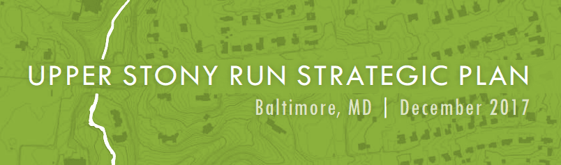
In 2015 the Roland Park Community Foundation in partnership with the Friends of Stony Run commissioned a strategic plan for upper section of the Stony Run trail. The plan was adopted by the City in 2017 and made a series of recommendations to enhance and preserve Stony Run Trail and meadows. Take a look at this detailed plan for more information.
–
–
HOw ’bout a MAP of the trail on this website. thanks