This 76-acre linear park in northeast Baltimore stretches north to south for approximately two miles following the contours of Chinquapin Run. Confined to the very northern end of the park at Northern Parkway and Chinquapin Pkwy are a handful of recreational amenities, but most of the park includes narrow green spaces and pathways that follow the stream with occasional small fields without obvious purpose.
Over the past several years, this park has been largely unusable due to a large stream restoration project along Chinquapin Run with the only exception being the recreational amenities located at the north end of the park. Even though the project is now complete (or mostly complete), the portions of the park following Chinquapin Run remains largely impracticable and future uses for the portion of the park remain in doubt.
DIRECTIONS
The playground, tennis court, softball field and basketball court at the northern end of the park are located at Northern Parkway and Chinquapin Parkway.
The northern end of the trails and greenways following Chinquapin Run are located just south of the basketball court. The trails and greenways extend south and cross the following intersections listed from north to south.
Northwood Drive and Lenton Avenue
Chinpaquin Parkway and E. Belvedere Avenue
The Alameda and Chinquapin Parkway
Northwood Drive and The Alameda
Northwood Drive and Woodbourne Avenue
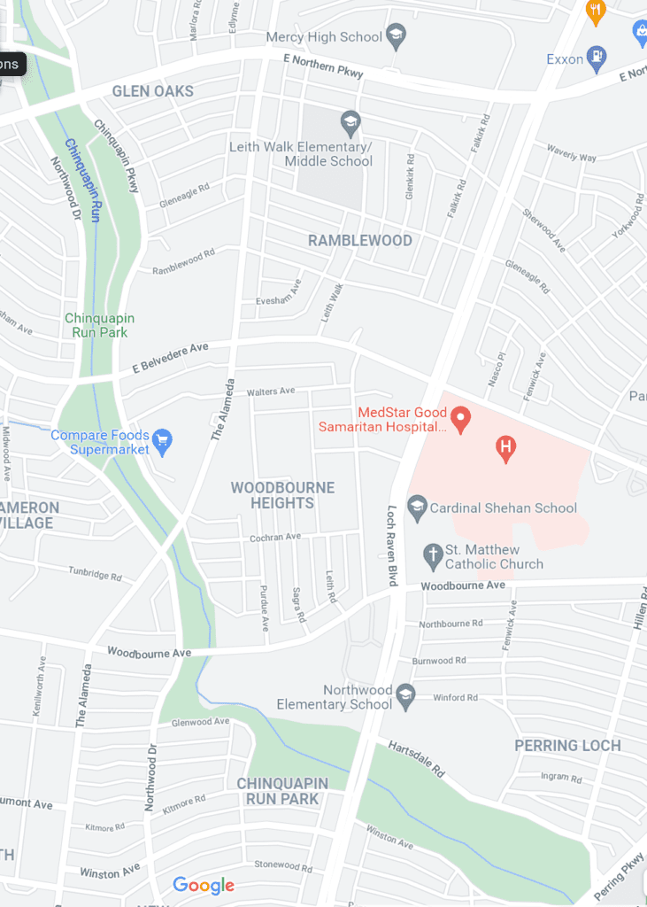
The below excerpt from Google Maps may be helpful to identify the different areas where roadways interrupt the park.
RECREATIONAL AMENITIES
A. Playground
At the northern end of the park is a cluster of recreational amenities including a tennis court, playground, basketball court and softball field.
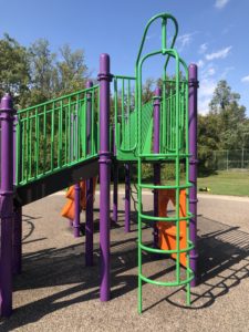
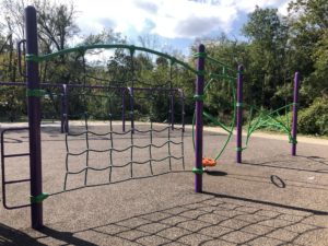
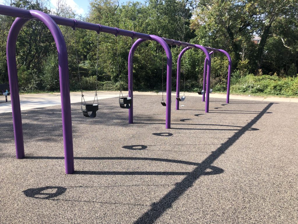
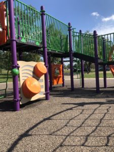
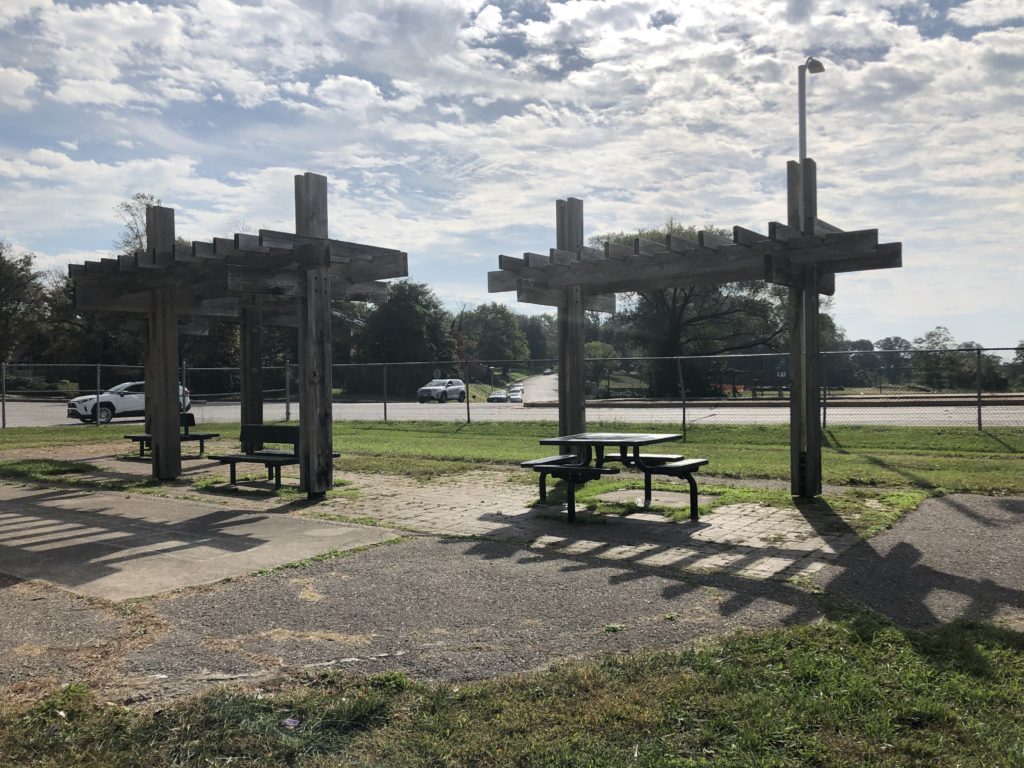
The playground is very well used, is in good condition with a rubber surface and includes a slide, swings and climbing equipment. The location of the playground is not necessarily peaceful as it sits just off the busy Northern Parkway, but access is great for the neighborhoods on the north end of the park. The playground is surrounded by a fence and includes several benches and tables for the parents.
B. Tennis Court
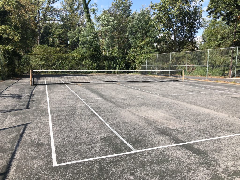
The park has one tennis court in the northernmost corner of the park. Although the court is marginally usable, the surface is in poor shape and desperately needs replacement. The fencing is adequate, but vines have taken over one side of the fence. Play is first come, first serve and is limited to daylight hours as there is no lighting.
C. Softball Field
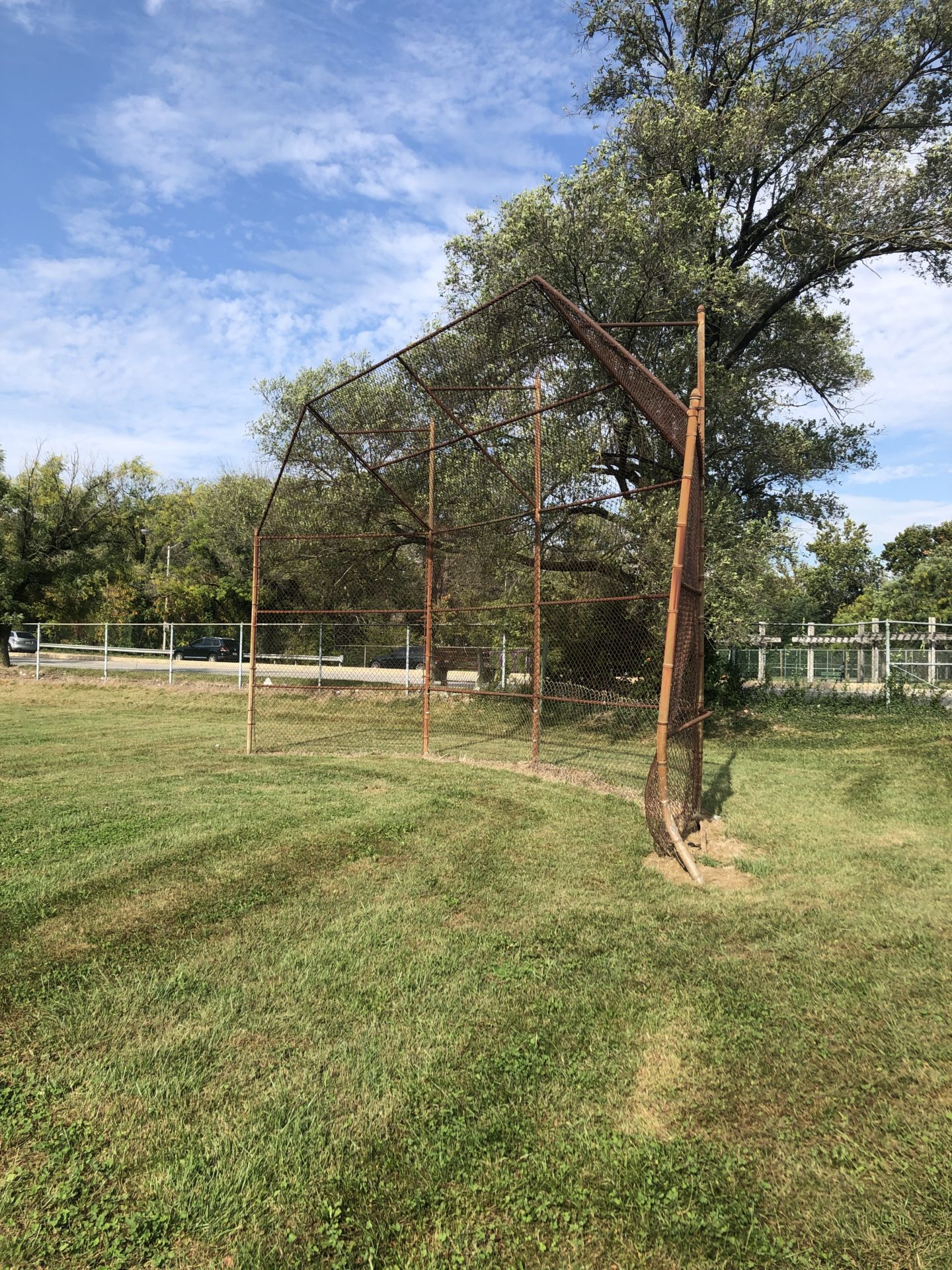
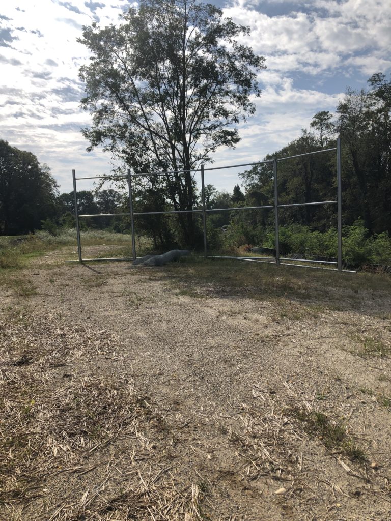
The softball field is rough and the field is largely unusable. It does appear that a new backstop is being erected along with a repositioning of the field away from the roadway.
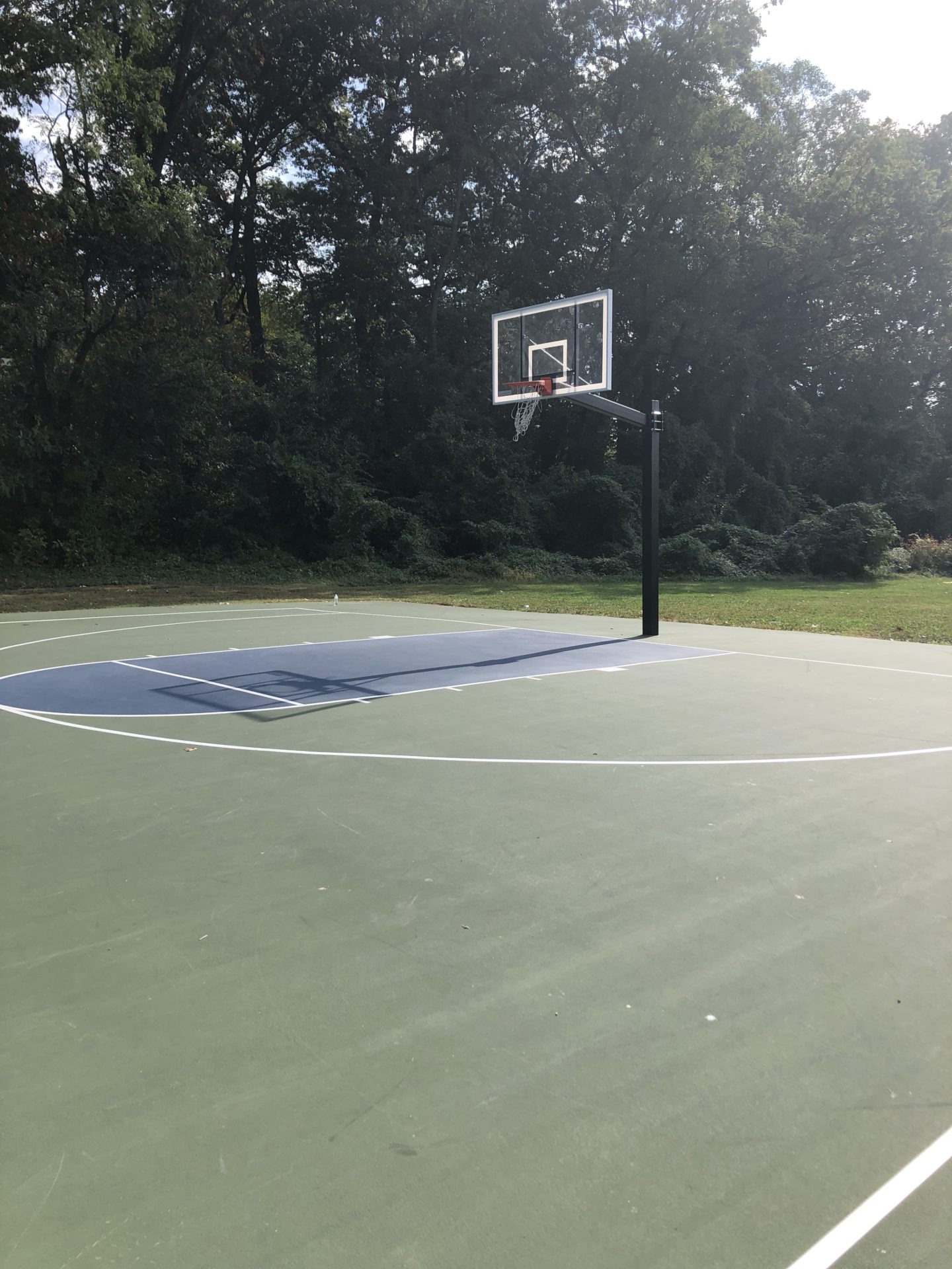
D. Basketball Court
The park also includes a full basketball court. The court surface is in excellent condition and the backboards are of good quality. Unfortunately, one of the rims was broken when I visited, but otherwise, this is a very nice court. Play is limited to daylight hours because of the lack of lighting. The area around the basketball court needs trashcans as litter is a recurrent problem.
TRAIL FOLLOWING CHINQUAPIN RUN
I’ll admit, I was confused when walking the trail that is parallel to Chinquapin Run. There are no signs delineating the boundaries of the trail and in many areas, the trail disappears only to be picked up in a different area. Where streets interrupt the trail, there is no apparent path to pick the trail back up on the other side of the road. As the trail follows a stream, the trail has the potential to be like the Stoney Run Trail. Despite that fact, Chinquapin Park’s trail is poorly maintained, is little used, and fails to add value to the greenways and woods that surround both sides of the Chinquapin Run.
A. Northern Section of Trail
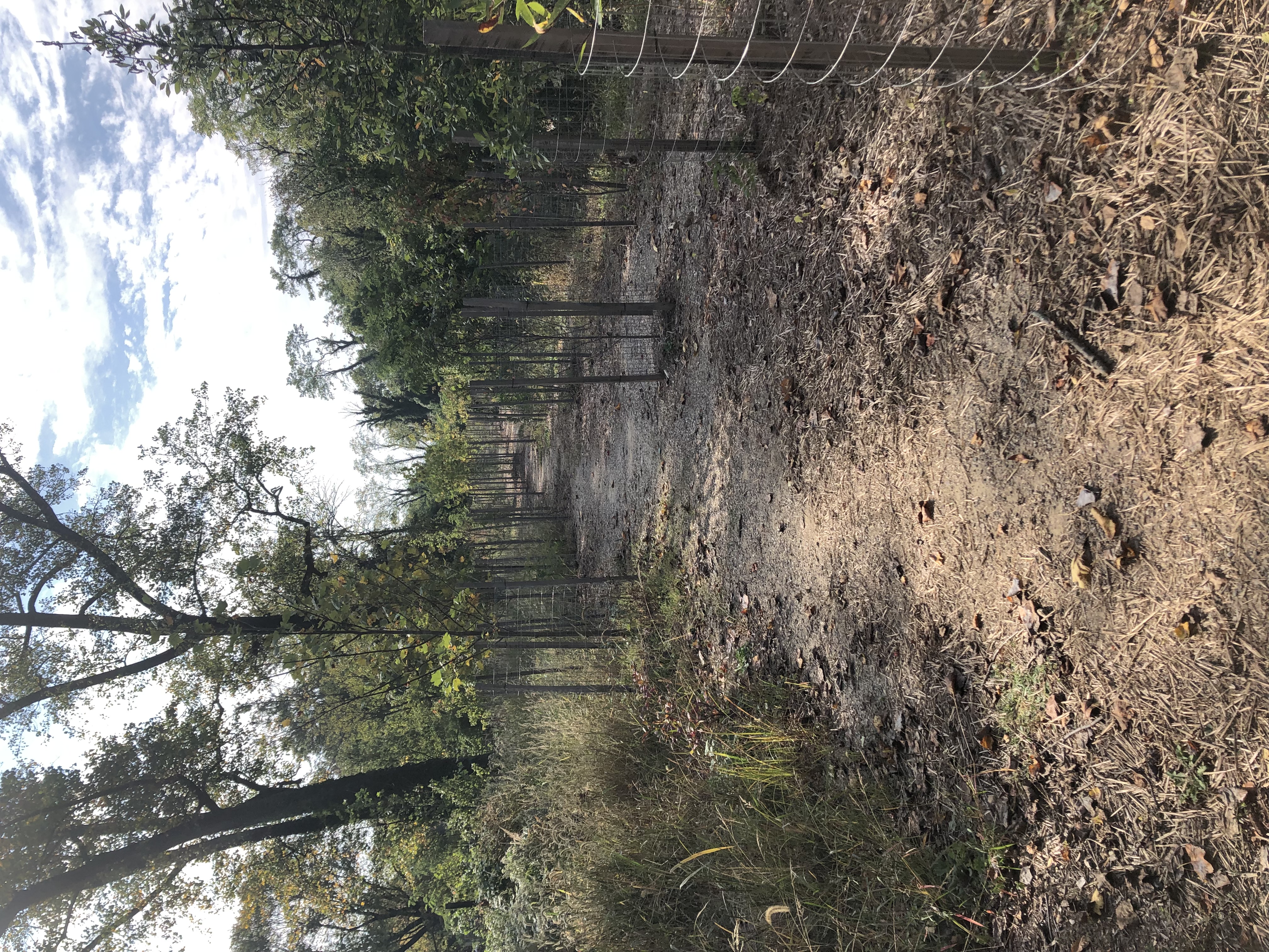
The northernmost section of the trail can be picked up on the south end of the basketball courts. The below picture gives you a good idea of what this section of the trail system looks like after the stream restoration project.
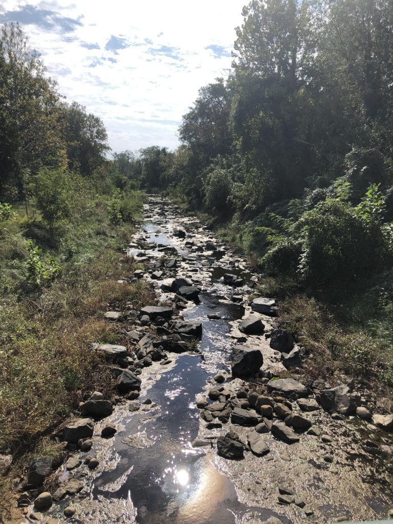
The below picture is of the Chinquapin Run taken from a bridge crossing the trail in the northern section.
B. Middle Section of Trail
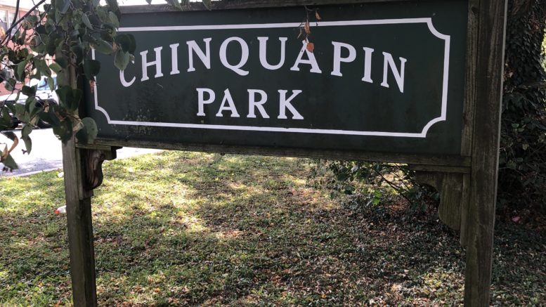
Proceeding south from the northernmost trail section and after crossing E. Belvedere Avenue is the middle section of the trail. At this part of the park, there is signage for Chinquapin Park in a number of places. This part of the park/trail is confusing as there is no well-identified trail leading south. Instead, this section of the park consists of greenways and small fields on both sides of the Chinquapin Run.
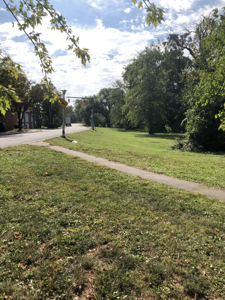
C. Southern Section of Trail
The Southern section of the trail starts at Woodbourne Avenue and Northwood Drive to the north and extends south to the southern end of the trail at Perring Parkway and Hillen Road. At the northern intersection is a backstop where a ball field used to exist – presumably before the stream restoration project.
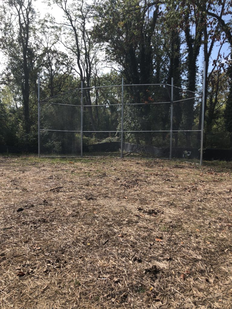
Just beyond the old ball field, the trail becomes well-defined and heads downhill into a forested area with mature trees. While this part of the trail has the best views, the trail abruptly ends at the intersection of a side stream running into the Chinquapin Run. While you can scramble over the rip rap to cross the stream, there is no identified route designated by the trail.
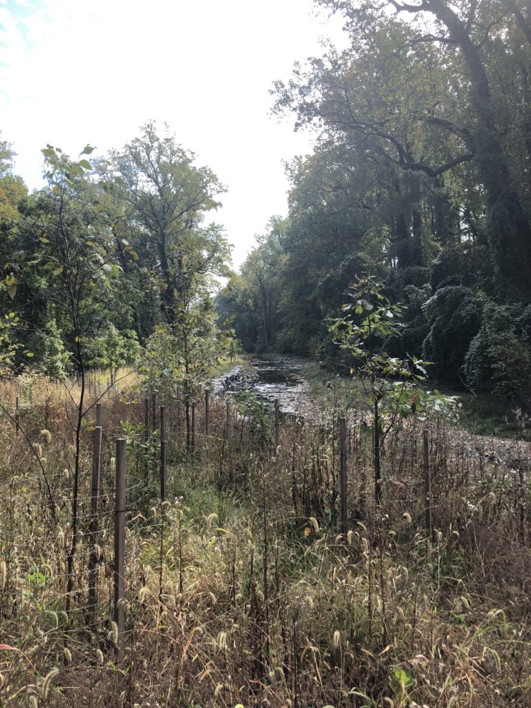
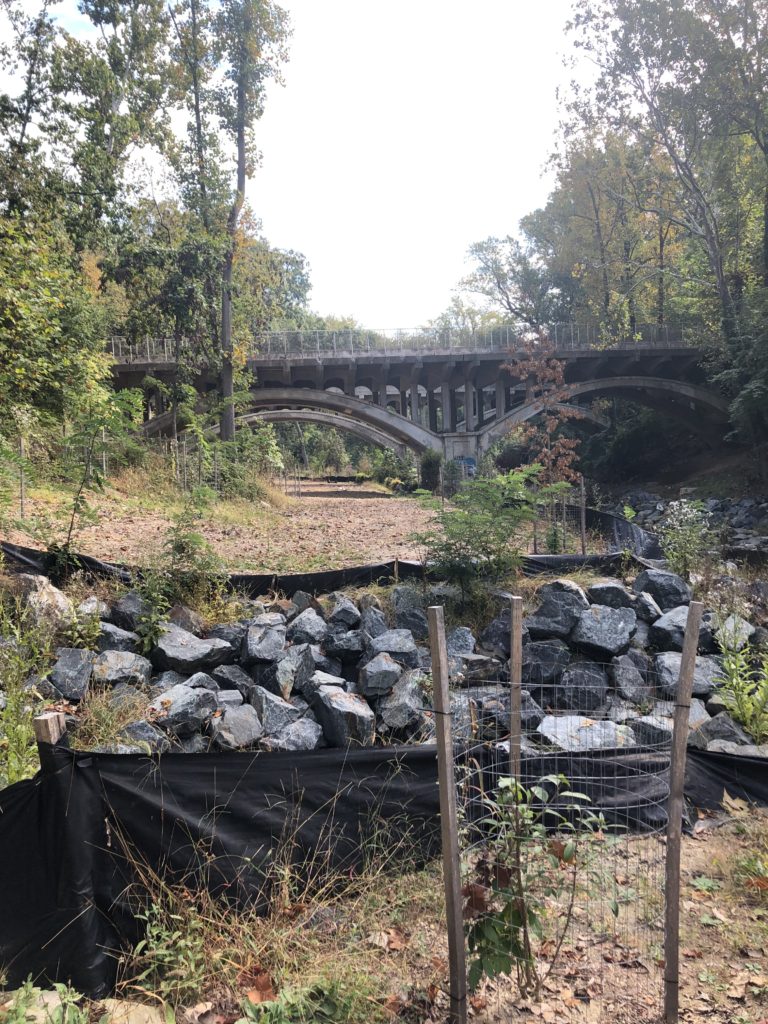
After scrambling to the other side of the stream, the trail continues under a bridge. Shortly thereafter, the trail runs into a boggy section which is difficult to navigate. If you are brave enough to navigate the muck and mud, the trail ends shortly thereafter with no warning. This requires the hiker to turn around as there is no easy way to exit the trail system.
WATER QUALITY
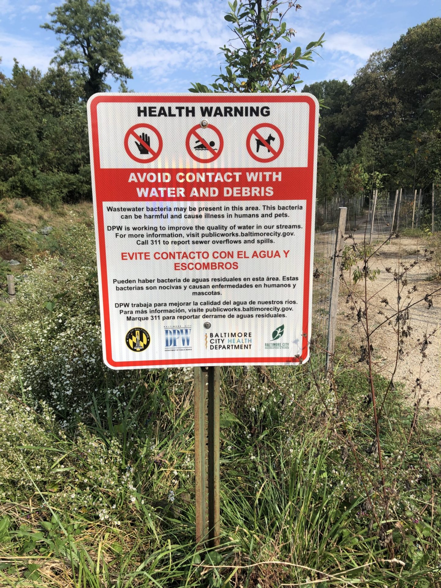
Although Chinquapin Run’s water may look inviting in certain sections, the water quality in the stream is poor. As a result, contact with the water should be avoided by both humans and our pets.
This is what the park used to look like about 10 years ago but now the park is not been maintained and it’s been designated as a forested area with many request for improvements in the park haven’t been submitted to Rex and Parks and other